Geotiff
Advertisement
SpacEyes3D Viewer v.5.0
Real time 3D visualization of terrain model, and DTM analysis. SpacEyes3D Viewer is program to interactively visualize 3D models made with SpacEyes3D Builder.SpacEyes3D Viewer uses the same rendering engine that SpacEyes3D Builder.
Advertisement
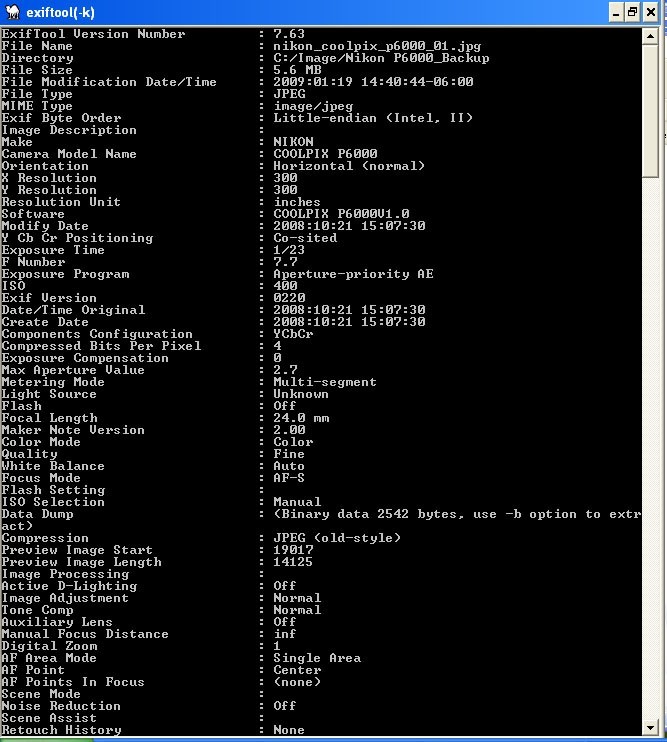
ExifTool v.8.97
ExifTool is a platform-independent Perl library plus a command-line software for reading, writing and editing meta information in image, audio and video files. ExifTool supports many different types of metadata including EXIF, GPS, IPTC, XMP, JFIF,
DIMIN Viewer v.5.2.5 Build 140
Using DIMIN Viewer software you will be able to view images in countless formats, and apply a variety of effects. Dimin Viewer incorporates unique visualization ideas, like Panoramic Photographs Tool and Big Image Navigator. It also features multi
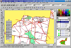
Global Mapper v.12.00
Create Better Maps with Global Mapper. Think of it as a word processor for geographic data. With a digital representation of your data, you can create printed maps or digital map files that can be downloaded into Garmin GPSr's.
Mapwel Build-11.0-2013 v.2013
All-in-one software for creation of custom GPS maps compatible with Garmin GPS units.
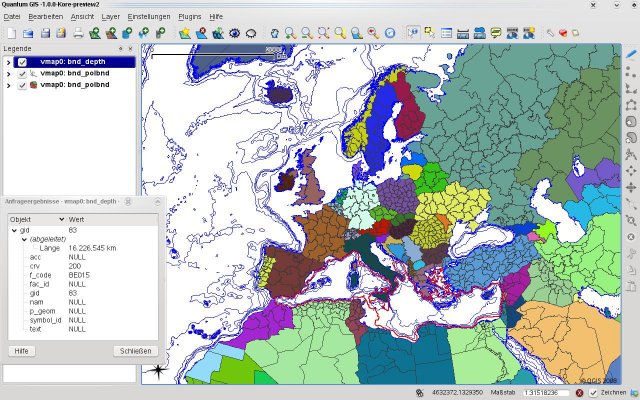
Quantum GIS form Mac v.1.8.0
QGIS supports vector, raster, and database formats and lets you browse and create map data on your computer.

Thuban for Linux v.1.2.2
Thuban is an interactive geographic data viewer (GIS viewer) which features methods to visualize, explore, and analyze geographic information.
Thuban for Mac OS X 1.0.1-3 v.3
Thuban is an interactive geographic data viewer (GIS viewer) which features methods to visualize, explore, and analyze geographic information.
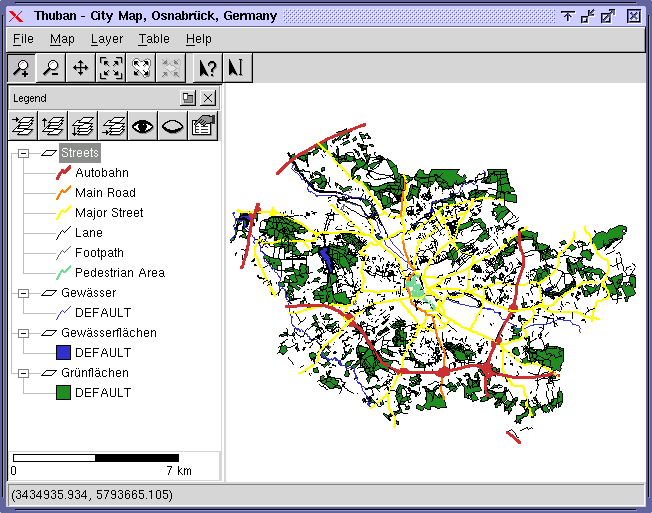
Thuban for Windows v.1.2.2
Thuban is an interactive geographic data viewer (GIS viewer) which features methods to visualize, explore, and analyze geographic information.
Free Shapefile Viewer v.5.3.1
The free AvisMap Viewer opens most GIS/CAD and raster image file types and most ArcView, ArcExplorer, and MapInfo projects.
ExifTool for Mac OS X v.9.19
ExifTool is free software used for reading, writing, and manipulating image, audio and video metadata.